|
|
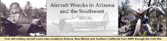
U.S. Army Bell UH-1D Iroquios (Huey) # 66-952, crashed in the Santa Rita Mountains south of Tucson, AZ, on April 26, 1967.
 |
 |
 |
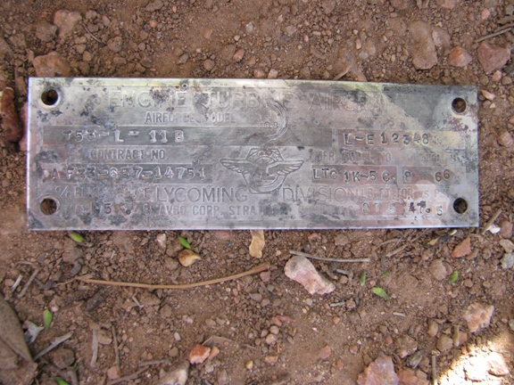 |
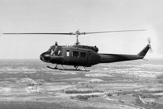
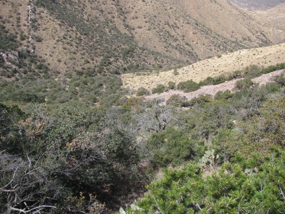
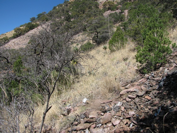
| Looking down from the ridge where the helicopter crashed below. | The first part of wreckage was this tip of the rotar blade. | The final impact area where the helicopter burned. | The Lycoming engine date plate; "Engine Turbine Aircraft" Model Number T53-L-11B, accepted in August 1966. |
 |
 |
 |
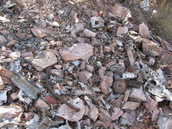 |
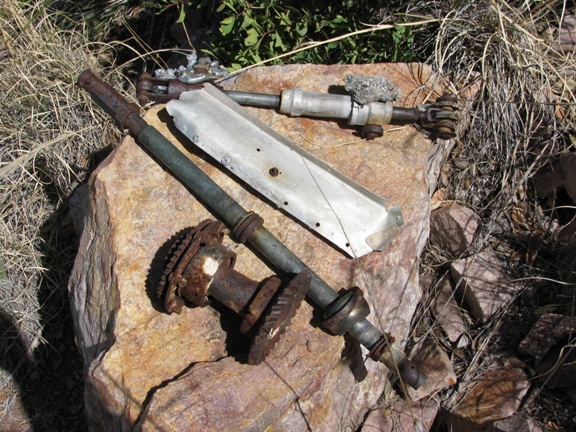
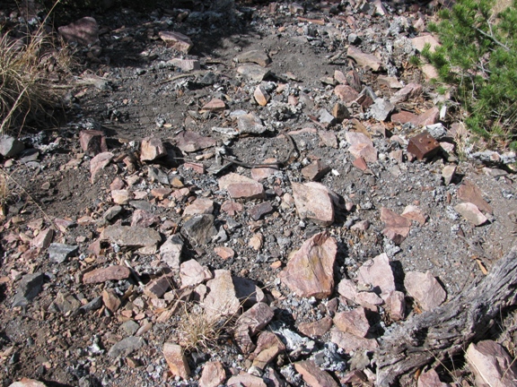
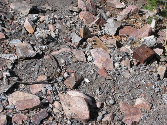
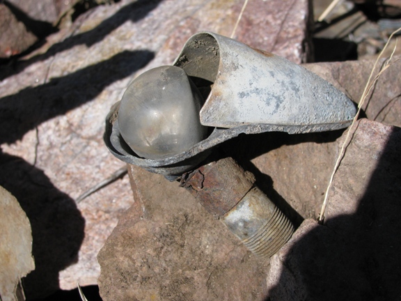
| Miscelaneous gear and debris. | Burn area. | Burn area. | Burn area. |
 |
 |
 |
 |
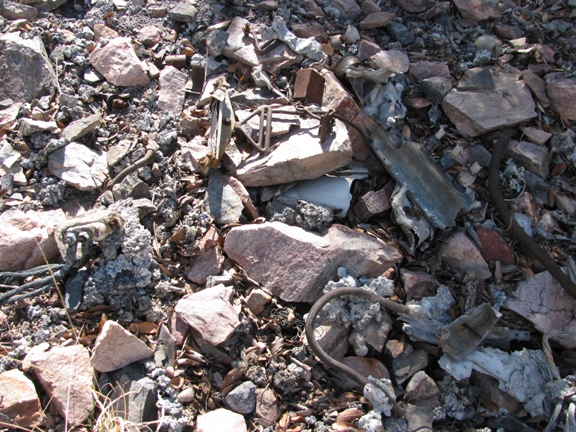
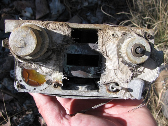
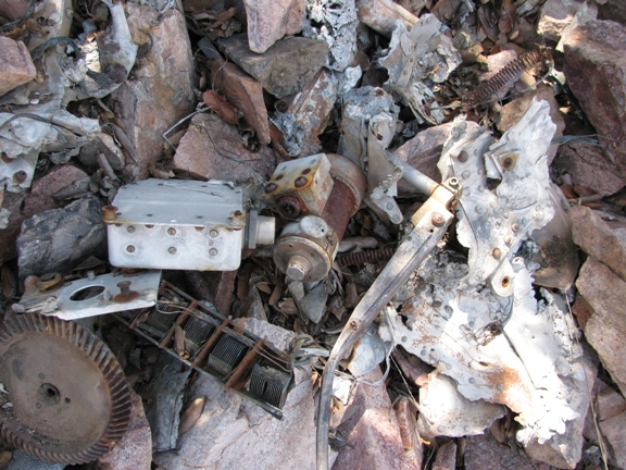
| Debris and seat belt harness. | Gears and avionics. | The ADF receiver. | Safety belt harness and buckles. |
 |
 |
 |
 |
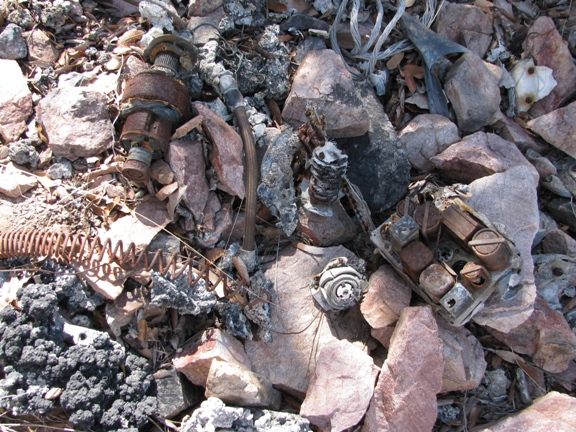
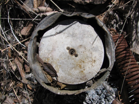
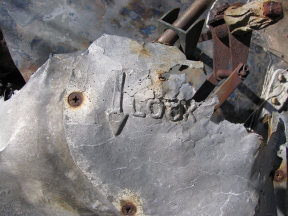
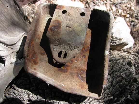
| Instrument face. | Gears, conduit and debris. | "Lock" for some component. | Aluminum and steel support members. |
 |
 |
 |
 |
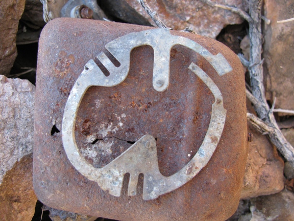
| The pitot tube. | "Air Mixing Valve" data plate. | One of the helicopter's ashtrays. | A navigation light. |
 |
 |
 |
 |
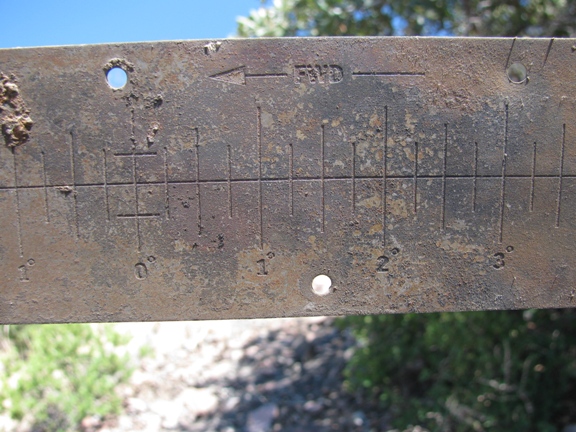
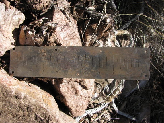
| Instrument face cover. | A data plate indicating 'Forward' and degrees. Perhaps a pitch indicator with the rotor blades? | It is about 10 inces long. | Overview of the hillside. |